
Services / MHMedia LLC
Show the place from a wider view.
Aerial photography and video that gives properties, facilities, and business stories useful context.
Discuss the right approach for your project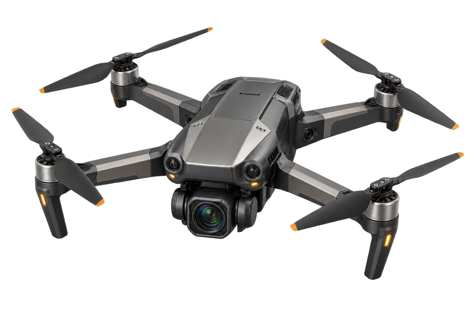
Define the view
Show how the place fits together.
Plan establishing views, property or facility context, visible progress, or supporting footage around the audience and intended use.
Assess the site
A safe flight starts on the ground.
Review airspace, weather, permissions, access, people, obstacles, and takeoff and landing space. Flight is confirmed only for the actual conditions.
Prepare the delivery
Make each image useful.
Scope editing, stills, motion, formats, and alternate crops for the website, film, commercial, or other agreed destination.
Discuss the locationWhat the engagement includes
Aerial coverage can establish a location, show the relationship between buildings and land, document visible project progress where feasible, or add context to an interview, documentary, website, or commercial. We plan the images around their intended use.
Share the address or map pin, access contact, date range, site restrictions, and the views you need. We assess weather, airspace, permissions, takeoff and landing space, nearby people and obstacles, and the conditions on the day before flight can be confirmed.
Your scope defines the shot list, stills or motion, editing, delivery formats, and alternate crops. Aerial coverage is not a survey, engineering inspection, mapping accuracy guarantee, or promise of flight approval; specialist requirements need a separate conversation.
See the perspective.
Your next project starts with a clear purpose.